3D-Laserscanning
3D-Laserscanning
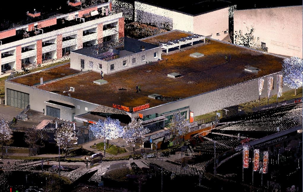
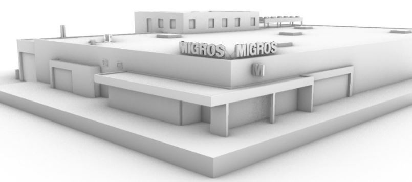
Laser scanning has developed from classical surveying and offers the possibility of recording and digitally storing much information in short time. Later displaying and processing the images in suitable software, the image data and distance measurements can be interpreted and models derived from them.
The seamless recording of the surroundings enables the creation of detailed building and landscape models, the volume calculation of excavation or backfill, the documentation of objects of any size, and much more. In addition to construction surveying, the measurement method is also used in other areas such as the preservation of evidence, the games industry, or the protection of monuments and cultural assets.