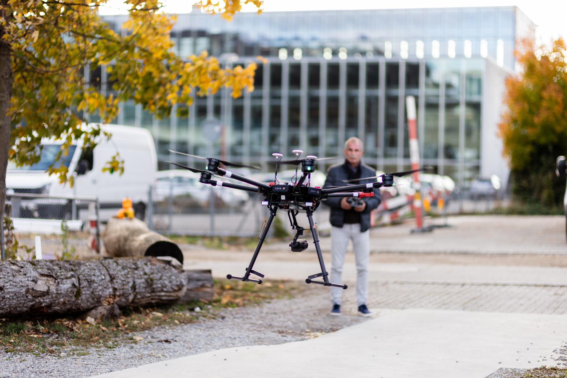
Drone measurement
For the efficient surveying and documentation of large-scale or high objects, drones are part of the essential equipment of innovative engineering offices. Due to their simple operation and small size, they can also be used in environments that would otherwise be difficult for personnel to access from the ground or due to restrictions on regular operations, for example, in quarries. High-resolution images are taken from a safe distance from the ground, facades, or pylons with the help of a stabilized camera attached to the drone. The subsequent automatic evaluation in software designed for this purpose generates 3D point clouds or orthophotos from these images, for example. These can then be used for excavation control, land surveying, architecture, or documentation.
We will be happy to advise you on possible applications and show you the optimal choice from our drone portfolio, leading to a highly accurate and efficient solution.